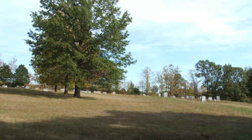
Kilby Cemetery
Deeds

Location: Indian Twp - Sec. 29 T52N - just off State Road VV, behind Skillman's, eight miles south of Curryville. 
Directions: Hwy 54 West to Curryville, Left on State Road M to State Road V right turn on State Road V. 1 1/2 mile on left side of road a gravel road near the Thomas Skillman Farm follow dirt/gravel road/path to cemetery and church building. 
Notes: This cemetery was organized about 1830 on the farm of Mr. James L. Kilby. A church and a school were also build here. In 1850, James L. Kilby gave one acre for the cemetery and more ground was given over the years until it now encompasses 4 acres. The oldest stone is of William Vannoy (Oct. 8, 1815) He was 1 yr 12 days old. First account of money for care of the cemetery was June 2, 1921, $67.00 for mowing. The association meets on the Second Sunday of June in the afternoon in the Church at the cemetery. A collection is taken each year so the cemetery may continue to be maintained. Donations may be sent to Deedie L. Reading, Treasurer, 3549 State Road V. Curryville, MO 63339.
Inscription Sources: Pike Co. Mo. DAR Vol. 4 1986; FHL fiche 6104196

The FIRST DEED was made Oct. 24, 1850

     One acre of ground was given by James L. and Frances E. Kilby for the purpose of and use for the Methodist Gospel church.
     A parcel of land Situate in the County of Pike and State of Missouri, bounded as follows lying in the east half of the N. E. quarter of section 29, township 52 range 4 west beginning at the north west corner of the school house survey turning south size poles and there made a corner thence west 12 poles, 3 yards, 2 11/40 feet and there made a corner thence north 12 9/11 poles and then made a corner east 12 9/11 poles and then made a corner thence south 6 9/11 poles to the beginning corner containing one acre.

     (To trustees are William D. Green, George Smith, and John F. Wright, James Maseeurve, Eddy Maxwell, Daniel Goodman and George W. Wright.)

The SECOND DEED was made 1881

     James L. Kilby and his wife Luvinia to succers James W. Wright, Peter Goodman, Robert M. Vannoy, one-half acre.

The THIRD DEED was made Dec. 10, 1890

     Joseph Kilby and Julia Kilby his wife, Robert Trower and Mary Trower his wife, for road leading to cemetery 20 feet wide running east from public road to cemetery, commencing at a point on the public road opposite George Monaghans dwelling house know to as the Arch Johnston house running east on a line between Robert Trower and Joseph Kilby.

The FOURTH DEED was made Dec. 16, 1904

     A.J. Kilby, Julia A. Kilby, George W. Kilby and Susan Kilby his wife, to (Trustees) Jeff D. Wright, Emmett Henderson, Peter S. Branstetter, one half acre N.W. corner.

The FIFTH DEED was made Oct. 17, 1914

     G.W. Kilby and M.S. Kilby his wife
     (Trustees) George W. Smith, Claud Ball, Emett Henderson
     one and one half acres

The SIXTH DEED was made Feb. 14, 1931

     George W. Kilby & Mary S. Kilby his wife to 
     Allen B. Potter and Oma K. Potter his wife.
     Road way to cemetery contains one and one half acres

The SEVENTH DEED was made Sept. 28, 1945

     Allen B. Potter and Oma K. Potter his wife to
     (Trustees) Newton Adams, Floyd Sparks, George Smith
     One acre of ground adjoining Kilby cemetery on North

Kilby Cemetery


© 2000 Rhonda Stolte Darnell